Suggested headline
Mapsake turns years of travel photos into a private, living atlas
A concise angle for app roundups, privacy coverage, summer travel, Apple-platform software, and independent-development stories.
Press kit
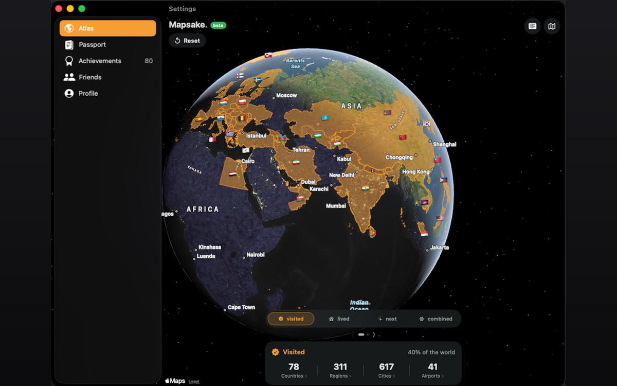
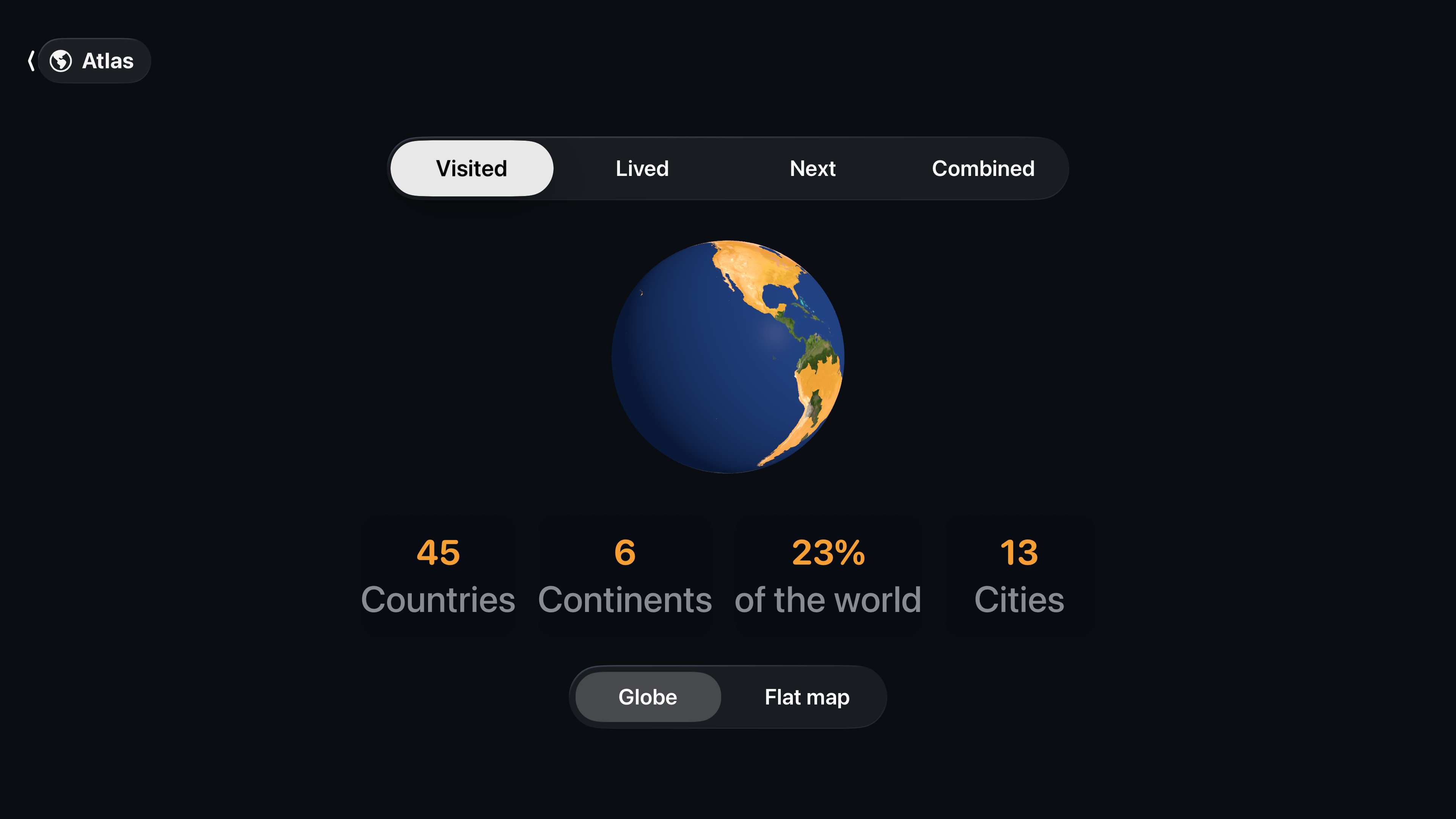
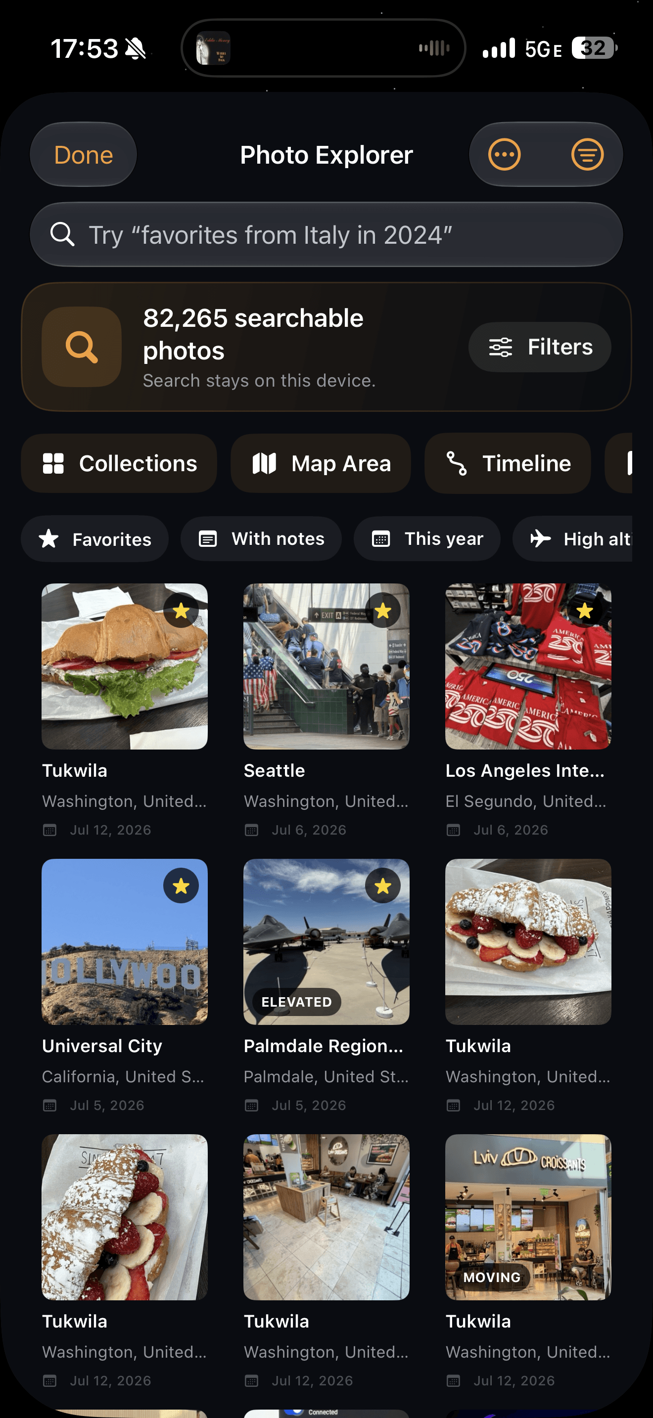
Mapsake is an independent Apple-platform travel app that maps where someone has visited, lived, and wants to go next. It can build from on-device photo locations, then turns the record into a cinematic globe, place stories, passport statistics, achievements, constellations, and shareable reels.
22-second product demo
This silent, caption-free product capture is ready to embed or cut into editorial video. It shows the real Mapsake interface and uses seeded demonstration data rather than a fabricated product mockup.
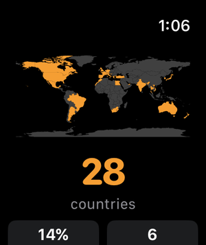
Most travel trackers begin with an empty checklist. Mapsake can begin with years of geotagged photos, matched to places on the device. It separates visited, lived, and next; works across iPhone, iPad, Mac, Apple Watch, and Apple TV; and keeps the core app free with no ads, subscriptions, or in-app purchases.
The app was built by independent developer Cole Jelinek as a durable record rather than a trip-booking or social-content funnel.
The images below are cleared for editorial coverage of Mapsake. Click any asset for the original file, or use the press-kit download for all ten assets and the fact sheet in one ZIP. Please do not alter the app icon or imply an Apple endorsement.
PNG, 1024 × 1024
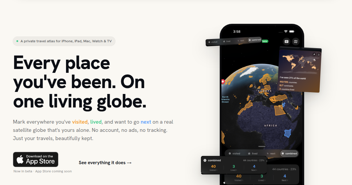
PNG
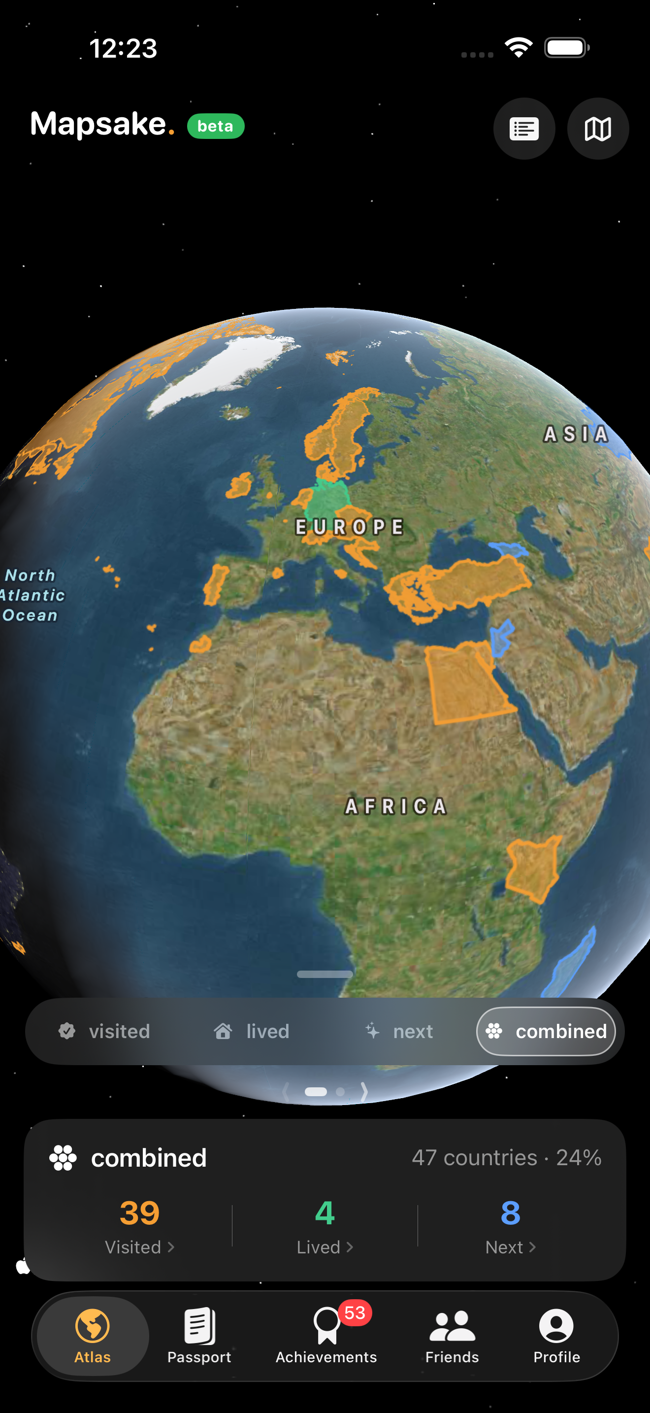
PNG
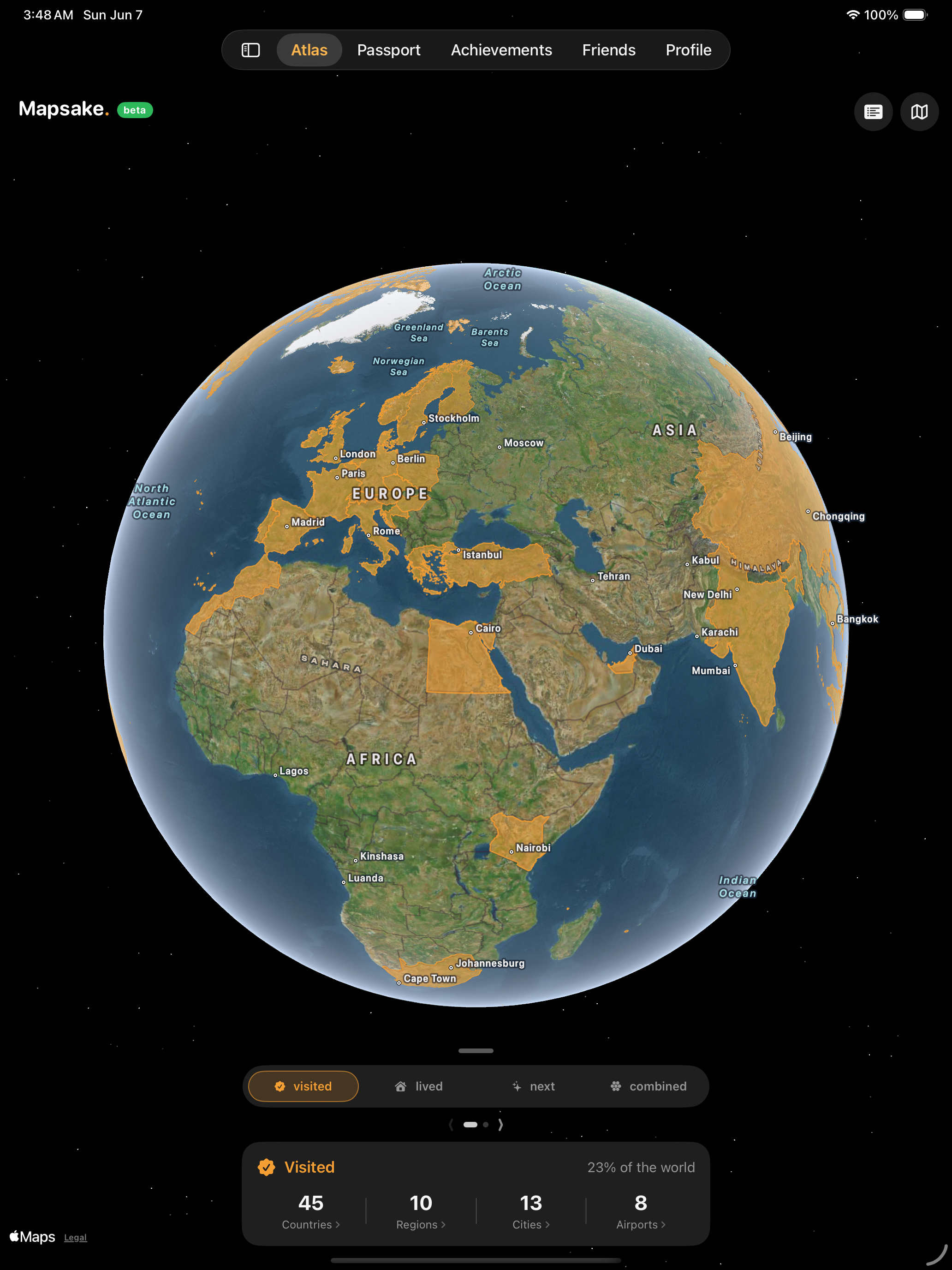
PNG
PNG
PNG
PNG
PNG

PNG
For review access, interviews, additional device screenshots, or original-resolution assets, email [email protected].
Suggested headline
A concise angle for app roundups, privacy coverage, summer travel, Apple-platform software, and independent-development stories.
Review notes
The app can be explored manually or built from the reviewer’s own photo library. Contact the developer for a guided walkthrough, seeded review build, or additional device captures.